+977-9841857211 info@movetomountainadv.com

Manaslu Circuit Trek 12 days

(5 / 5)
20% on Price
From $ 1850
Enquiry Form
Full Name*
Email Address*
Travel Date*
Phone Number*
Person*
Your Enquiry*
Security Check (2 + 7)*

Why Book With Us?

  • No-hassle best price guarantee
  • Customer care available 24/7
  • Hand-picked Tours & Activities
  • Free Travel Insureance

Get a Question?

Do not hesitage to give us a call. We are an expert team and we are happy to talk to you.

+977-9841857211

info@movetomountainadv.com

  Arrival City: Kathmandu
  Departure City: Kathmandu
  Lodging Level: Tea House
  Meals: Lunch Breakfast Dinner
  Trip Grade: Moderately difficult to Challanging
  Maximum Altitude: 5163m
  Activity: Trekking
  Wifi Available: Yes

Introduction to Manaslu Circuit Trek

Trekking the Manaslu Circuit is among the best treks in Nepal. It brings you around the Manaslu conservation area and astonishing landscape of one of the eighth highest mountains in the world.

It is an excellent choice when you have trekked in the Annapurna Circuit previously. Manaslu Trek is a 13 days trek commencing at Macha Khola and ending at Beshi Sahar. It may be increased to 22 days including a side trek to Tsum Valley.

Manaslu himal is a beautiful mountain among other 8000-meter mountains flanked by Annapurna ranges to its west and Ganesh Himal to its east.

As compared to the Everest Base Camp Trek and Annapurna Circuit Trek, both of which are filled with hikers all round the world, the Manaslu Circuit Trek tends to be less crowded. It is far and physically challenging and esthetically inspiring.

The circuit takes you from the steamy lowlands with their rice and millet terraces through the mighty gorges of the Budi Gandaki, with their turquoise waters and amazing waterfalls. The suspension bridges in the Manaslu trek are in a league of their own for both length and height, and the yearly monsoon often washes minor bridges away, leaving trekkers to use semi-submerged rocks.


Only opened to a maximum of 400 trekkers in 1992, this trek still feels like a pioneering expedition. If you want to know what trekking in the 1980s was like, the Manaslu circuit trek is a visual feast from start to finish, but you better be fit.

Slowly, you wind North to the snowbound Larkya La Pass beside the Tibetan border. The altitude here is a problem but almost forgotten with the jaw-dropping views of Manaslu. At 5,167 meters/16,952 feet, Larkya La Pass is usually snow-covered and icy. Micro crampons are often used on the descent. Trekking to the pass requires a 4 am start to make the highest point before the winds come, usually around mid-morning.

From the pass, looking back the way you have come gives a clear view, but by far, the most amazing view comes after you have left the pass and walked along a corridor to the west.

A great glacial cirque bursts into view. A stupendous wall created by Cheo Himal, Himlung Himal, Nemjung, Gyaji Kang, and Kang Guru casts down a stream of glaciers while Annapurna II rises ahead. This view alone makes the trek worthwhile.


Highlights

  1. Remote & Less Crowded: A peaceful alternative to Annapurna and Everest regions.

  2. High Himalayan Pass: Larkya La Pass (5,160 m) offers spectacular 360° panoramic views.

  3. Tibetan Culture: Villages, monasteries, prayer flags, and mani walls along the trail.

  4. Diverse Landscapes: From subtropical forests to alpine meadows and glacial moraines.

  5. Flora & Fauna: Rhododendron forests, bamboo groves, and rare Himalayan wildlife.

  6. Cultural Immersion: Interact with Tamang, Gurung, and Tibetan-influenced communities.

  7. Adventure & Challenge: Moderate to strenuous trekking, ideal for physically fit trekkers.

Price Includes

  • Private ground transportation from Kathmandu to Machha Khola and Dharapani to Kathmandu

  • Comfortable vehicle with experienced driver, fuel, tolls, and parking included

  • Best available mountain lodge accommodation during the trek

  • Private room wherever available (shared only at high altitude if required)

  • Three meals a day during the trek (breakfast, lunch, dinner)

  • Freshly cooked hygienic meals with multiple menu choices

  • Unlimited tea or coffee during breakfast and dinner

  • Boiled drinking water during the trek

  • Licensed, experienced English-speaking trekking guide

  • Required number of strong, insured porters (1 porter for 2 trekkers)

  • All guide and porter salary, meals, accommodation, and insurance

  • Manaslu Restricted Area Permit, MCAP, and ACAP permits

  • Government taxes, VAT, and service charges

  • Trekking map and detailed itinerary briefing

  • First-aid medical kit carried by the guide

  • Emergency assistance and coordination if needed

  • Duffel bag and trekking poles (on request)

  • Luggage storage at company office during the trek

  • Certificate of completion after the trek

Price Excludes

  • International airfare to and from Nepal

  • Nepal entry visa fee

  • Travel and high-altitude rescue insurance

  • Accommodation and meals in Kathmandu

  • Personal trekking gear and equipment

  • Lunch and dinner in Kathmandu

  • Hot showers, Wi-Fi, and device charging fees during the trek

  • Alcoholic drinks, bottled beverages, and snacks

  • Personal expenses (laundry, bar bills, phone calls)

  • Tips for guide, porter, and driver

  • Emergency evacuation costs (unless covered by insurance)

  • Additional nights caused by weather, health, or itinerary changes

  • Costs arising from natural disasters, strikes, or government policy changes

  • Any services not specifically mentioned in the Includes section

Complementaries

  • Trekking map and detailed itinerary briefing

  • Duffel bag for porter use (if requested)

  • Trekking poles (on request)

  • First-aid kit carried by the guide

  • Welcome drink or tea at starting lodge (Machha Khola)

  • Complimentary hot tea/coffee during breakfast and dinner on the trek

  • Certificate of completion after the trek

  • Seasonal trekking tips and packing list provided before departure

  • Luggage storage at company office in Kathmandu during the trek

  • Support from local office staff for any emergencies or coordination

What To Expect

  • Breathtaking Himalayan Views: Get up-close views of Mt. Manaslu (8,163 m), Ganesh Himal, Annapurna ranges, and snow-capped peaks along the trail.
  • Cultural Immersion: Experience traditional Tibetan-influenced villages, Buddhist monasteries, mani walls, and prayer flags throughout the route.

  • Challenging Yet Rewarding Trek: Moderate to challenging trails with steep ascents and descents, including crossing the famous Larkya La Pass (5,160 m).

  • Diverse Landscapes: Trek through lush subtropical forests, bamboo groves, terraced farmlands, alpine meadows, glacial rivers, and high mountain deserts.

  • Traditional Lodging: Stay in high-altitude mountain lodges with comfortable beds, meals, and friendly local hospitality.

  • Altitude Adventure: Gradual acclimatization ensures safety and allows you to enjoy high-altitude trekking with minimal risk of sickness.

  • Flora & Fauna: Spot unique Himalayan flora, birds, and wildlife like langurs and Himalayan monkeys along the trail.

  • Serene & Off-the-Beaten-Path: Enjoy peaceful trekking with fewer crowds compared to other popular routes in Nepal.

  • Adventure & Photography: Perfect opportunities for landscape, cultural, and wildlife photography at every turn.

  • Personal Growth: A sense of achievement and personal satisfaction upon completing one of Nepal’s most scenic and remote treks.

Itinerary
  • Drive Distance: ~160 km

  • Drive Time: 8–9 hours

  • Elevation: 870 m

Scenic drive through Dhading, Arughat, and Soti Khola following the Budhi Gandaki River to Machha Khola.

After having a great breakfast we start our trek along the Budhi Gandaki River, passing small villages, suspension bridges, terraced farmland, and pine forests. Jagat is a small village and checkpoint for permits.

  • Distance: 23 km

  • Walking Time: 4–5 hrs

  • Difficulty: Moderate

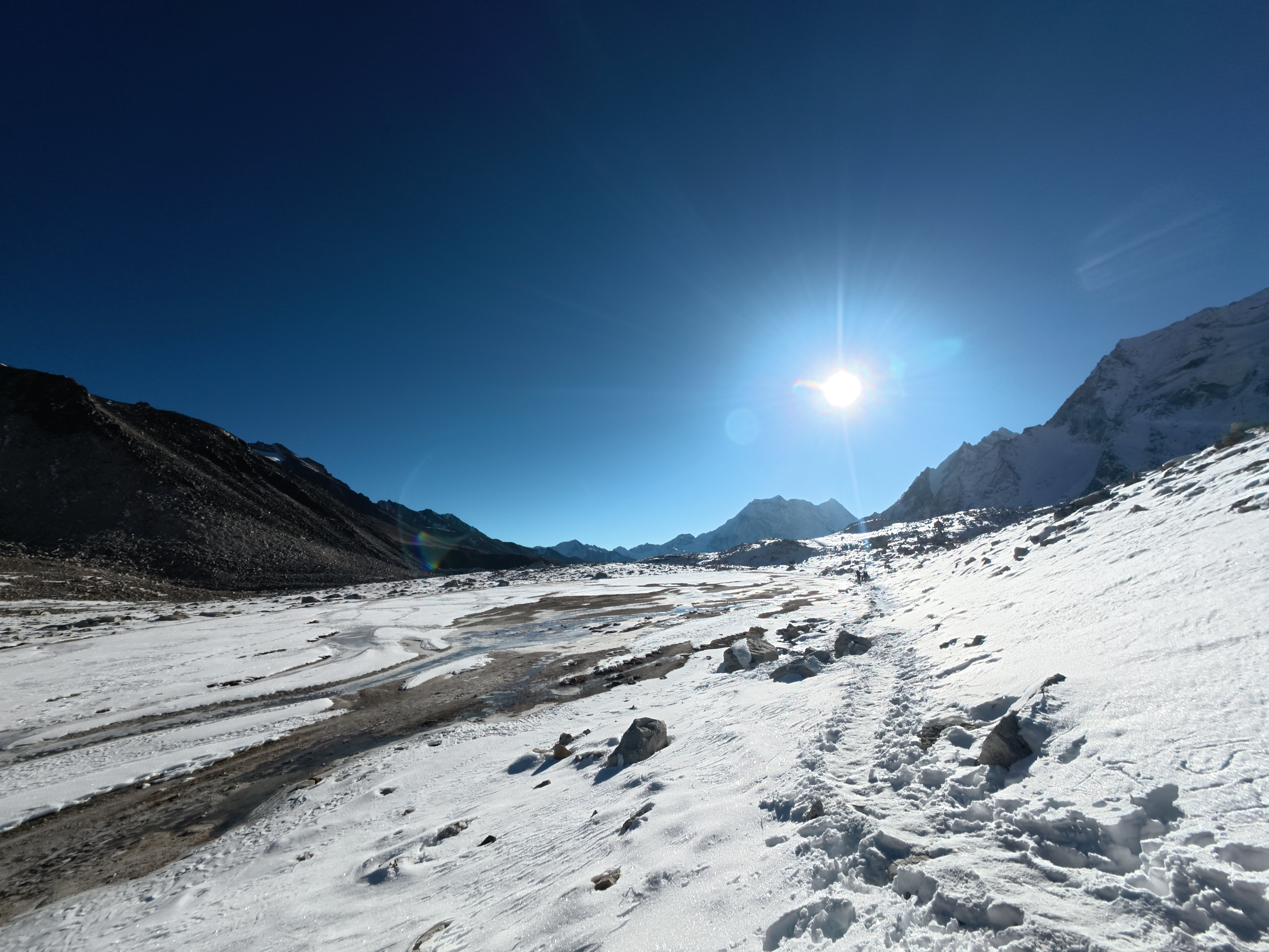
We begin the day by ascending a rugged hill to Salleri, followed by a descent to Sirdibas. As the trail progresses, the valley gradually widens while climbing toward Ghatta Khola. From here, we continue upstream to Philim, a prominent Gurung village marked by an impressive suspension bridge. The route then follows a relatively level path through cultivated millet fields to Ekle Bhatti, where the trail makes a sharp northward turn just above the village’s lowest houses. The path then drops into a narrow, uninhabited gorge before opening onto grassy slopes. We cross the Budhi Gandaki River, walk briefly along its western bank, and then return to the eastern side. As the journey continues, the valley broadens further, passing through dense bamboo forests before reaching Deng Khola. After crossing the stream, we arrive at the small settlement of Deng, where the day’s trek concludes.

  • Distance: 21 km

  • Walking Time: 4–5 hrs

  • Difficulty: Moderate

After breakfast in Deng, we set out on one of the most culturally rich and important sections of the trek. We cross the Budhi Gandaki River and climb toward the suspension bridges, where the trail links with the route coming from Bihi. Turning west, the path ascends steadily up the valley, winding through lush forests, alpine vegetation, and traditional ethnic villages, while the first distant views of high Himalayan peaks begin to emerge. The village of Prok offers stunning panoramas of the snow-covered Siringi Himal. Continuing onward through Ghap, the trail leads us to the settlement of Namrung, where the day’s walk comes to an end.

  • Distance: 19 km

  • Walking Time: 7–8 hrs

  • Difficulty: Moderate

Leaving Namrung, we are treated to spectacular mountain scenery as the valley opens up ahead. As the trail climbs higher, the temperate forests gradually thin out, and the lush green landscapes of the lower valley transition into the muted browns and grays of the high Himalayan terrain. At higher elevations, clear blue skies enhance the dramatic surroundings. We soon reach Lho, a charming village offering magnificent views of Mount Manaslu, along with the peaceful Rebung Gompa monastery set against the mountainside. Continuing onward, the trail passes through forested sections where we may encounter yak caravans carrying timber, eventually leading us toward Shyala.

  • Distance: 11 km

  • Walking Time: 6-7 hrs

  • Difficulty: Moderate

We set out with a packed lunch to visit Pungen Gompa, following the route that crosses the drainage slopes of the Pungen Glacier. Continuing along the trail, we eventually reach the broad, flat valley that is home to the welcoming village of Sama Gaon. During the Manaslu climbing season, Sama Gaon becomes especially lively, as it is the closest settlement to Manaslu Base Camp. The village is beautifully situated, with traditional stone houses surrounded by open courtyards and grazing pastures stretching out on both sides, creating a peaceful yet vibrant mountain atmosphere.

  • Distance: 15 km

  • Walking Time: 7-8 hrs

  • Difficulty: Moderate

Sama Gaon serves as our acclimatization stop for the day, allowing our bodies time to adjust to the increasing altitude. The village offers several rewarding day-hike options, including a short and scenic walk to Birendra Tal, a stunning glacial lake nearby. For those seeking a more challenging experience, the hike to Manaslu Base Camp is dramatic and highly rewarding, offering breathtaking mountain views. Alternatively, a peaceful excursion to Pungen Gompa provides a serene cultural experience set amidst the surrounding Himalayan landscape.

Today’s trail follows the upper section of the Budhi Gandaki River, turning north as we gradually ascend toward Samdo. Along the way, we pass the meeting point of the Larke River and the stream flowing from the Samdo Glacier, the main source of the Budhi Gandaki. Continuing uphill, we soon arrive at the high-altitude village of Samdo, surrounded by rugged mountain scenery.

  • Distance: 8 km

  • Walking Time: 3-4 hrs

  • Difficulty: Moderate

The hike from Samdo to Dharamshala is relatively short but steadily uphill. The trail follows the route alongside the Athahra Saya and Larke Rivers, gradually gaining elevation. Along the way, we pass Taka Choeling Gumba, with scenic views of Naike and Pangboche Peak. After crossing a bridge and walking past mani walls and traditional stone houses, the path turns left toward Larkya Bazaar, a small seasonal settlement with basic lodges. Continuing onward, we reach Dharamshala (Larkya Phedi), the final stopping point before crossing Larkya La Pass. The route offers views of lichened rocks, high-altitude pastures, scattered trees, and the impressive Syacha Glacier.

 
  • Distance: 12 km

  • Walking Time: 5-6 hrs

  • Difficulty: Moderate

Today is the most demanding day of the trek as we cross Larkya La Pass (5,160 m) on our way to Bimthang. We start very early in the morning around 4:00am in the morning  for this long and challenging journey. After a short ascent, we reach the northern edge of the Larkya Glacier and enter a wide valley with stunning views of Cho Danda and Larkya Peak. The trail then leads across glacial moraines, gradually at first and becoming steeper as we approach the pass. From the top of Larkya La, we are rewarded with spectacular panoramic views, including Samdo Peak and peaks along the Tibetan border, Larkya Peak to the south, the Annapurna range, and Annapurna II to the west.

  • Distance: 21 km

  • Walking Time: 7-8 hrs

  • Difficulty: Moderate

We depart from Bimthang, walking through open yak pastures and passing the early streams that form the headwaters of the Dudh Khola. Along the way, Manaslu rises to our left and the Annapurna range appears to the right, offering impressive mountain views. After crossing a bridge, the trail descends steadily, leaving the alpine landscape behind and entering dense rhododendron forests. The scenery soon changes to a greener valley dotted with cultivated fields and farmland. We pass through the small, charming village of Tilje before making a gentle climb to Dharapani, a major trekking hub and the gateway for trekkers beginning the Annapurna Circuit.

  • Distance: 18 km

  • Walking Time: 6-7 hrs

  • Difficulty: Moderate

After an early breakfast, we board a jeep from Dharapani and begin the drive back to Kathmandu . The journey takes approximately 8–9 hours. Upon arrival in Kathmandu, we collect our backpacks and proceed to our hotel or hostel to rest after the trek.

Gears

Backpack & Bags 40–50 L trekking backpack 20–30 L daypack Waterproof backpack cover

FAQ

Essentials include:

  • Layered clothing for warmth

  • Waterproof jacket and pants

  • Trekking boots and poles

  • Hat, gloves, and sunglasses

  • Water bottle and snacks

  • Sleeping bag for high-altitude nights

The best seasons are spring (March–May) and autumn (September–November) for clear skies and good mountain views.

Typically 12–16 days, depending on pace and acclimatization.

The Larkya La Pass at 5,160 m is the highest point.

It is moderate to challenging due to long days, steep climbs, and high altitude and long distance.

Yes. You need:

  • Manaslu Restricted Area Permit (RAC)
  • Manaslu Conservation Area Permit(MCAP)
  • Annapurna Conservation Area Permit(ACAP)

Yes, very Fit beginners can try, but prior trekking experience and good physical fitness are recommended.

  • Lower elevations: 15–25°C during the day, 5–10°C at night

  • Higher elevations: 0–10°C during the day, -5 to -10°C at night

Guides are recommended compulsary for safety, navigation, and cultural insight of tourist. Porters are optional but helpful.

Mostly tea houses and lodges offering basic rooms, meals, and electric blankets.

Map
Location Image
Photos